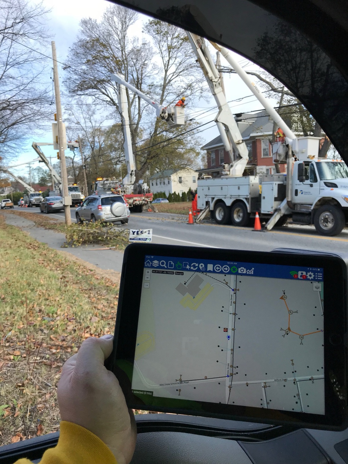
A storm at 03:00
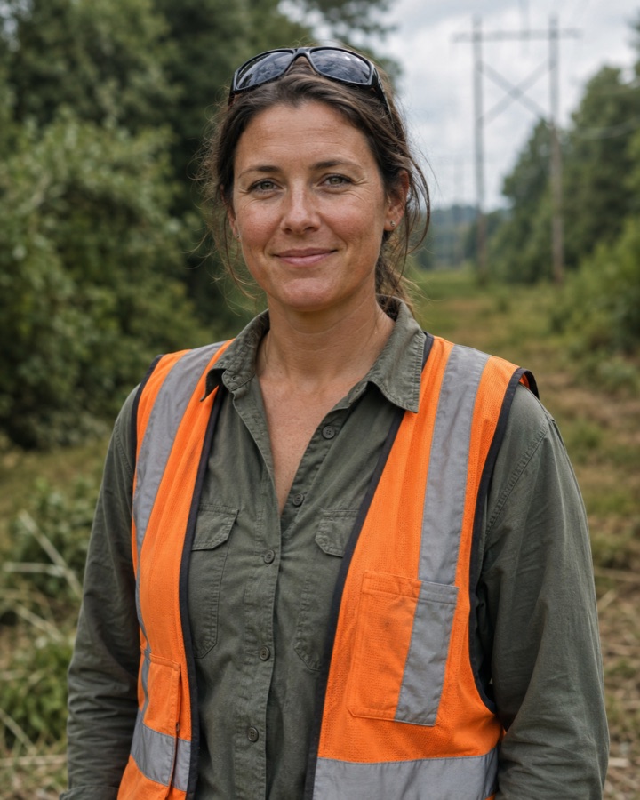
"We had eleven crews and a dark map. By 05:00 we had a route, not a guess."
How a Maine utility let dispatchers see what the field already knew, and stopped running storm mornings off a whiteboard.
 Cliffhanger Solutions
Get a Demo
Cliffhanger Solutions
Get a Demo
A shared operational backbone for electric, gas, and water utilities, making GIS, field, outage, and work management behave like one usable environment instead of four disconnected ones.
A shared operational nervous system for utility work. GIS, field, outage, and work management, behaving like one usable environment instead of four disconnected ones.
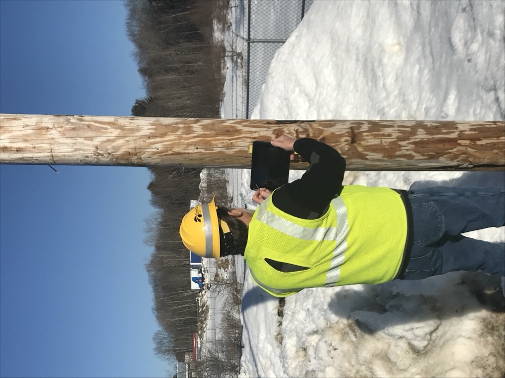
Mobile-first work execution and reality capture, for the crews who walk the lines, climb the poles, and correct the record from the field.
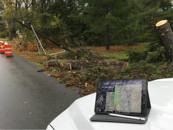
Incidents, crews, and restoration flow, held together when seconds matter, in the only place that knows where everything actually is.
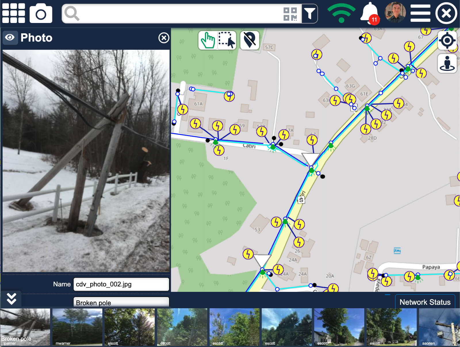
Office-side governance, evidence beside system truth. Approve, reject, investigate. Authoritative editing stays where it lives.
Trim cycles, compliance evidence, and contractor participation, built so the auditor's question has a real answer.
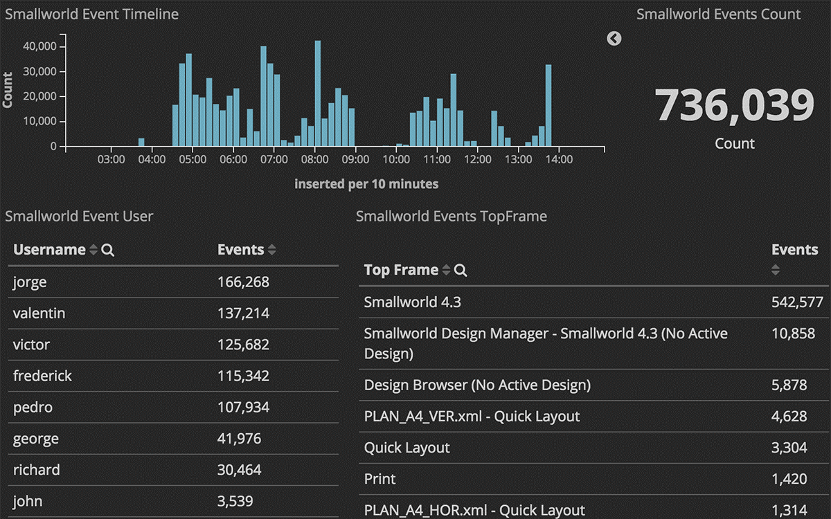
Aging work, restoration trends, compliance state. Dashboards that earn their place because someone acts on the answer.
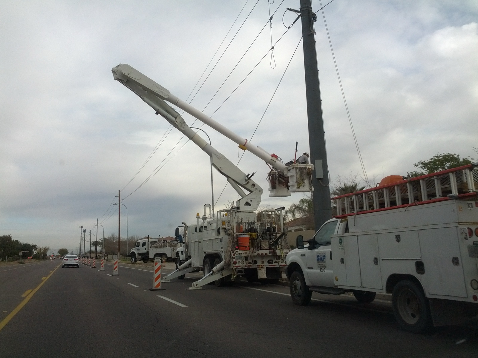
Joint use, finally coordinated: pole owners, attaching companies, and regulators working the same pole, from permits to make-ready to transfers, without seeing each other's data.
Composite portraits from real deployments in Maine, Arizona, and Nevada. Names changed. The work is real.
How a Maine utility let dispatchers see what the field already knew, and stopped running storm mornings off a whiteboard.
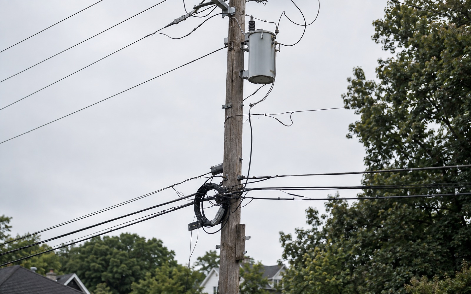
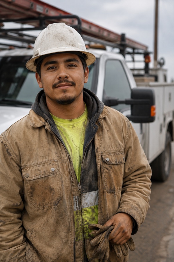
A transformer the GIS had wrong for decades. A field inspector with a phone. One shift from discovery to a correction the office actually trusted.
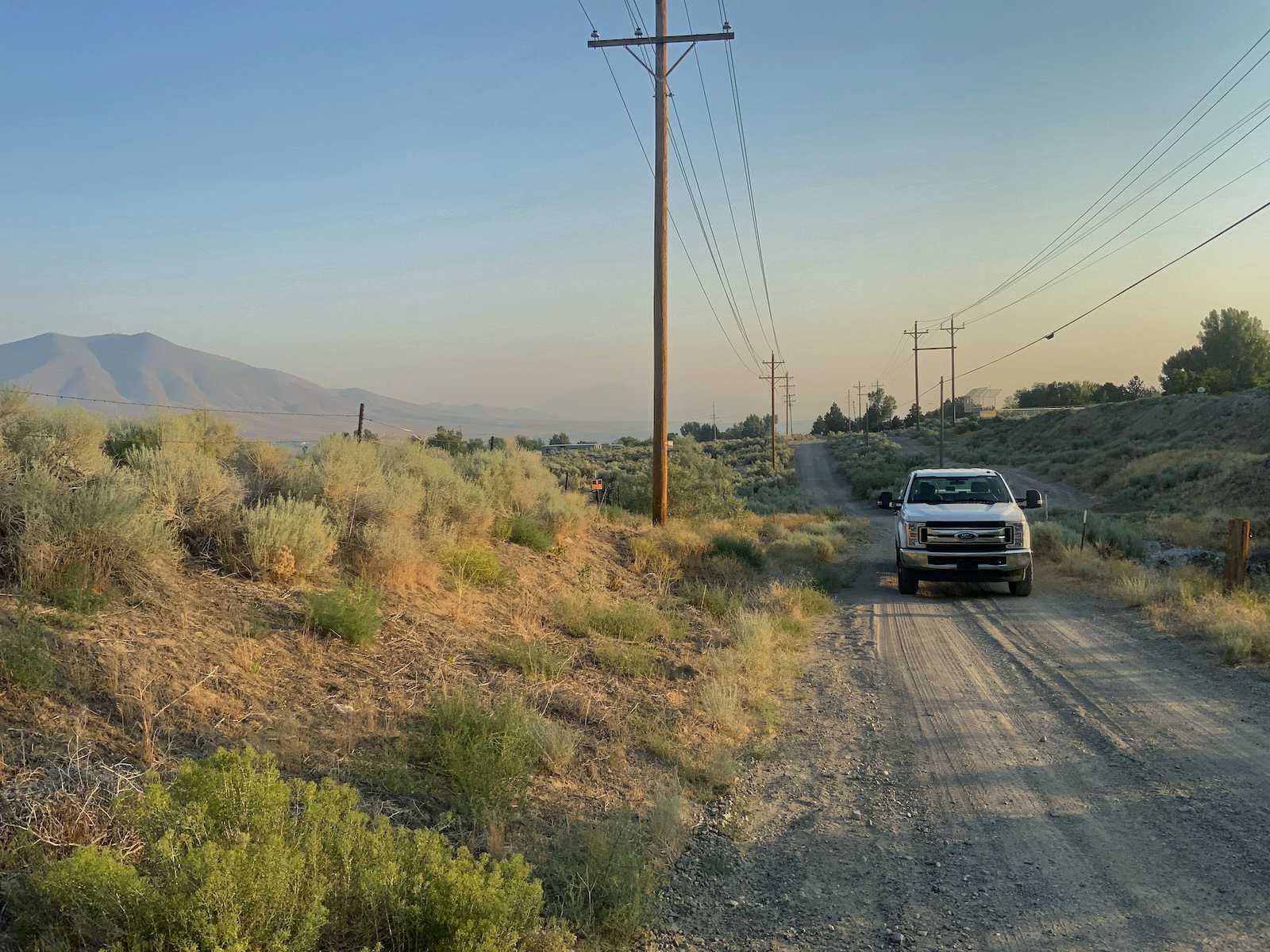
A field-services partner walked the high desert photographing poles. AI read every image, and the utility got inspection records it could stand behind, pole by pole.
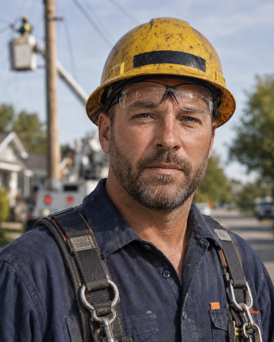
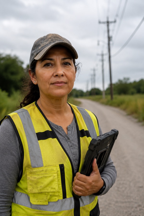
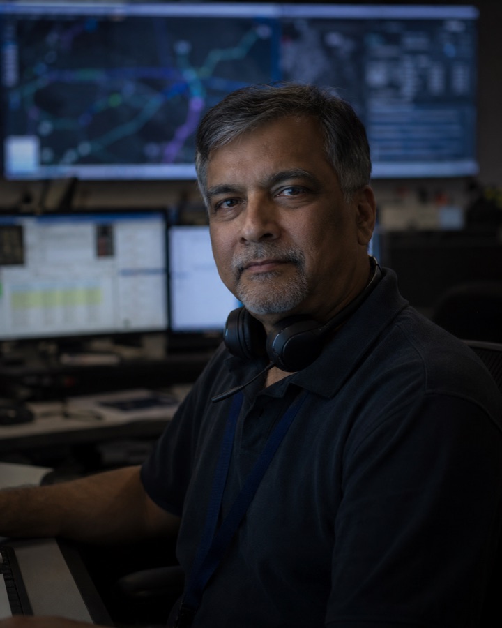

The platform sits beneath the work. Mobile crews, dispatchers, governance reviewers, and the systems your enterprise already trusts. They all see the same operational reality, every time.
Work orders, forms, evidence, tracing. Offline-capable, built for one hand, bad weather, and a deadline.
Incident-shaped. Crew status, work queue, restoration flow.
Evidence beside system truth. Approve, reject, investigate.
Smallworld and Esri keep their place. The backbone speaks both fluently.
Lights down, signal up. The version of the product nobody plans to use.
The same data, asked in natural language. Answers under 100ms.
One contract for the systems you already trust, opened lane by lane as each one is proven.
SAP and Click: work flows in, evidence flows back.
We'll run it in one bounded lane: one district or circuit, one crew program. Your data and your systems, a baseline captured on day one, and gains you can measure in weeks or months. Not years.