 Cliffhanger Solutions
Get a Demo
Cliffhanger Solutions
Get a Demo
The clipboard problem
Walk a feeder with a senior line worker and you'll see two things: a deep mental map of the network, and a clipboard that hasn't changed since the 1990s. The crew member knows which pole is rotting at the base. They know which transformer is mis-rated. They know which feeder traces wrong on the map. None of it makes it back to the office in a usable form.
What Atlas does on the device
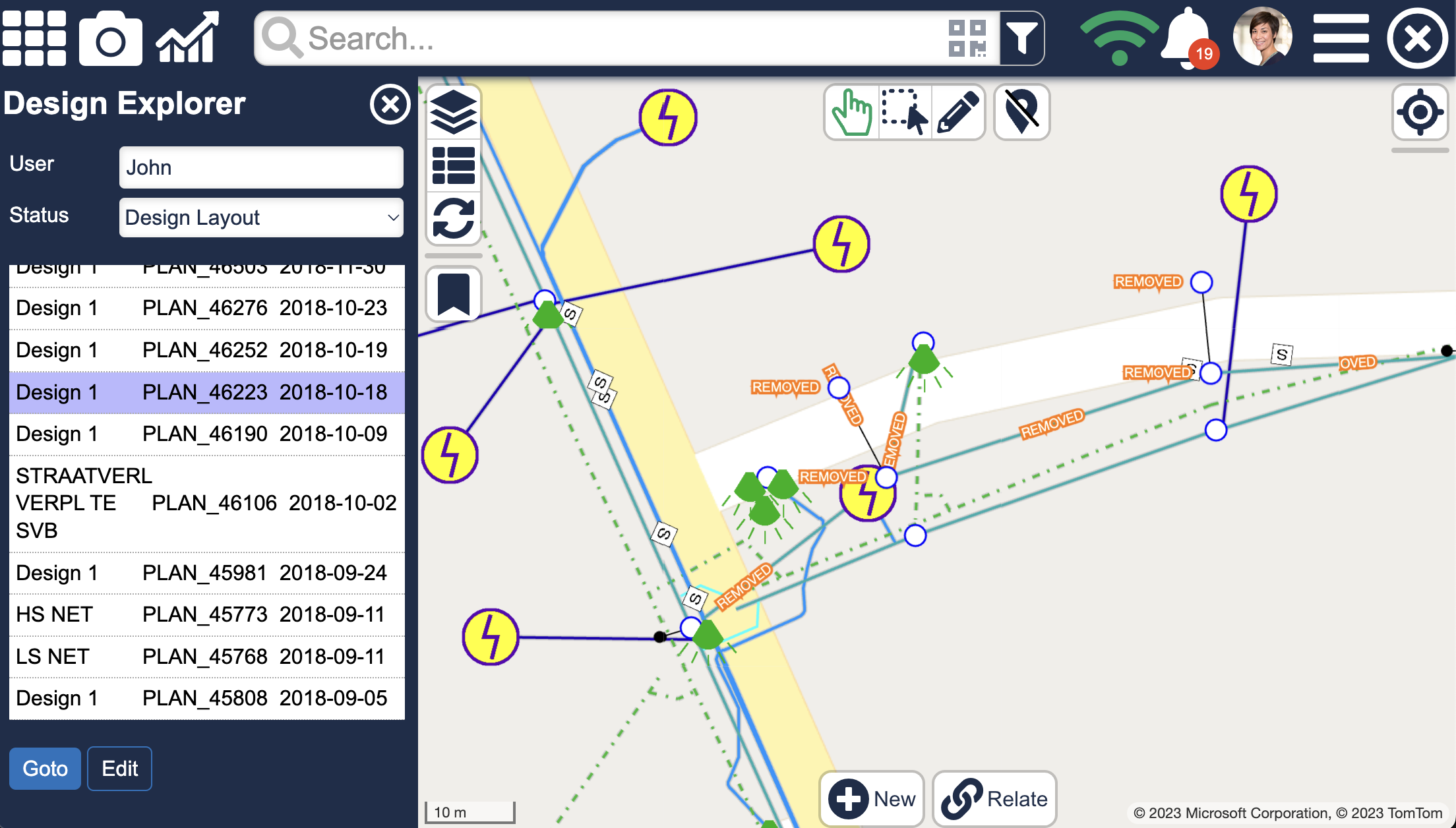
Atlas is the mobile workbench for that gap. The pole in front of the crew is the pole on the screen. Connected feeders, ratings, last inspection date, and recent work history are available the moment the device knows where it is, online or off. Capture is structured: photos with GPS and IMU, forms with the right fields for the asset type, signatures with a name attached. No transcription. No re-keying. No "we'll fix it later."
Why mobile-first matters
Most utility software was designed for the control room. Atlas was designed for one hand, daylight, gloves, and bad weather. Big targets, glove-friendly inputs, daylight-readable contrast, and aggressive offline behavior. The signal you have is whatever signal you have. Work happens, queues up, syncs cleanly when the radio comes back.
Where it fits
Atlas is the Field Ops workbench in the broader operational-intelligence platform. The same evidence captured on the device shows up the next morning on a reviewer's desk, attached to a discrepancy that the office can either approve, reject, or send back for more detail. Field reality and system truth, finally meeting in one place.