 Cliffhanger Solutions
Get a Demo
Cliffhanger Solutions
Get a Demo
The grid the model was drawn for
Most utility GIS systems were drawn for a world where power flowed one direction: from a large central plant, down through transmission, into a distribution network, and out to the meter. The model worked. It survived decades of incremental change. It's also no longer the world we're operating in.
Distributed generation breaks the assumption
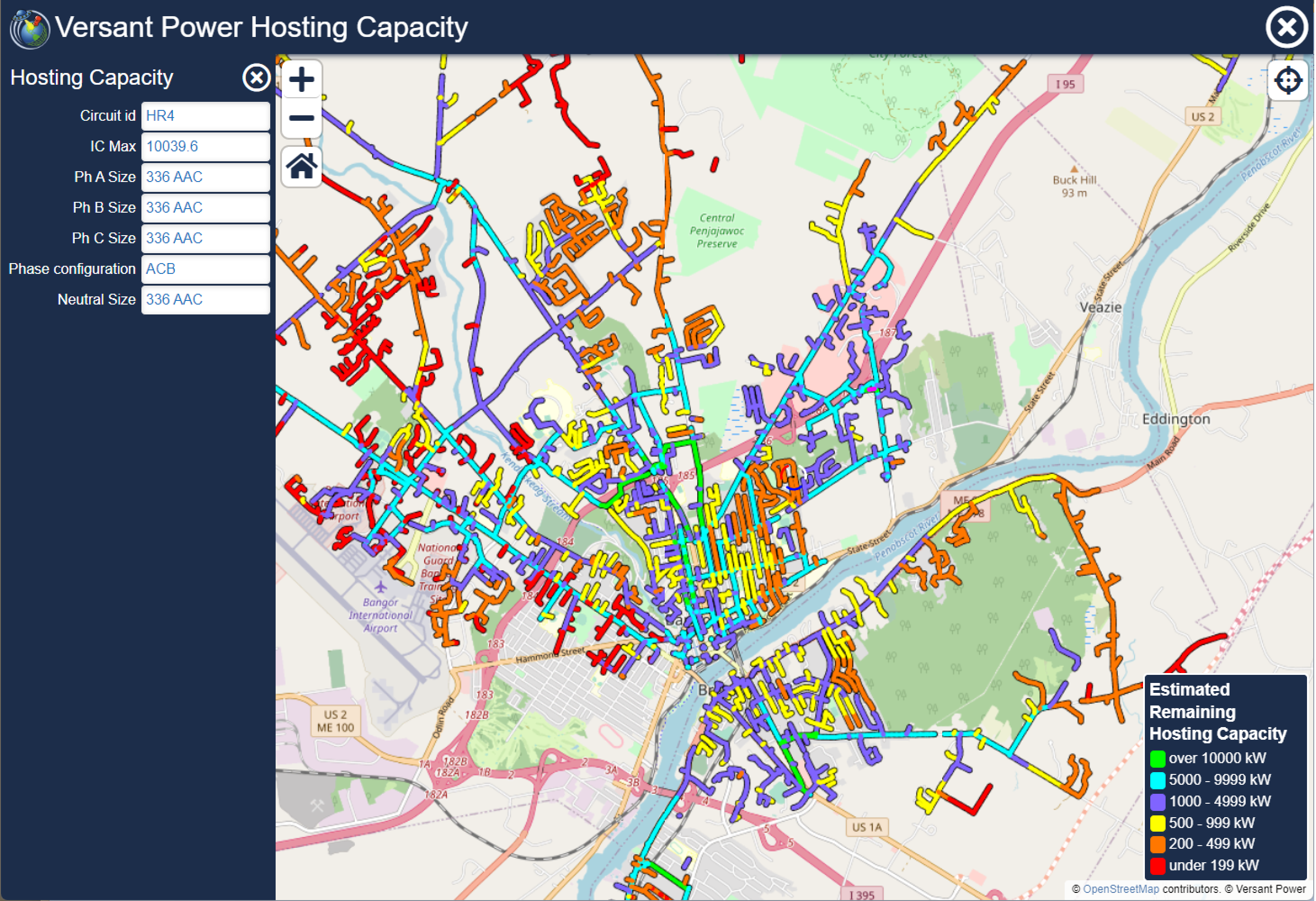
Solar at the meter, battery storage at the substation, EV fleets pulling and pushing depending on the hour, every one of these adds a node that wasn't on the original map. Planning teams need to see where the network can absorb new generation without breaching voltage limits. Operations teams need to know where backfeed is possible. None of this works against a GIS that hasn't been updated since the rooftop solar boom.
Geospatial intelligence as the planning surface
GIS becomes the planning surface for the transition: hosting capacity maps, DER interconnection queues, storage placement analysis, ROW siting for utility-scale projects. The model that used to describe the grid now anticipates it. Done right, the same backbone that powers dispatch tomorrow powers planning ten years out.
Why this is operational, not just analytical
The renewable transition isn't a planning department problem. It's an operations problem with a planning team attached. The faster the GIS reflects field reality (new interconnections, modified service drops, replaced transformers), the faster planning analyses become trustworthy. That's the loop the platform exists to close.